Earthkit transforms provides a spatial sub-package designed for computations in the
spatial domains.
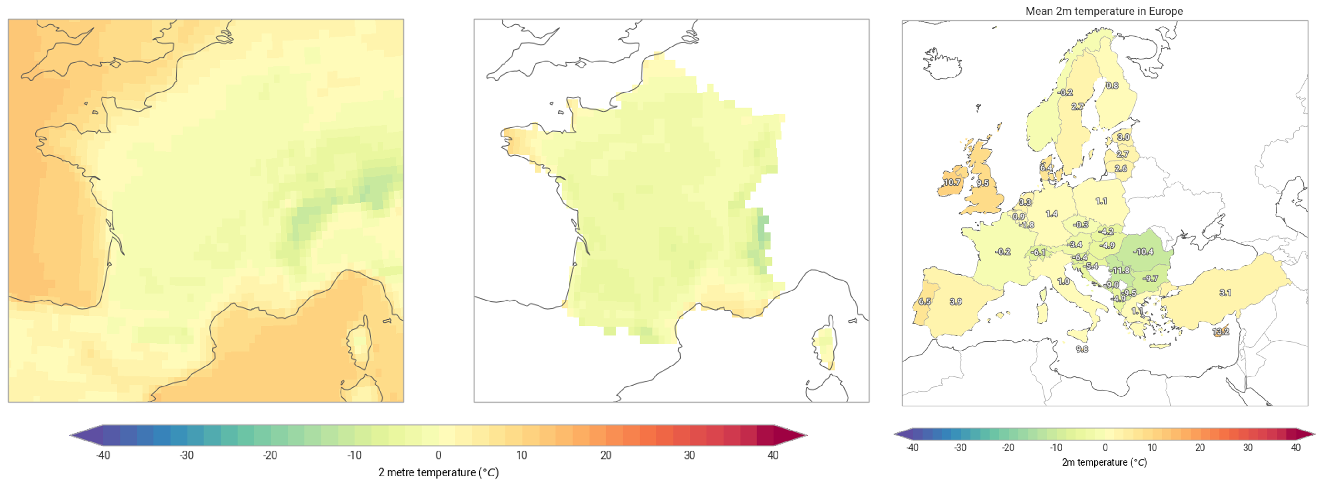
It combines geometry data (polygons and features) with geospatial data, i.e. raster grids, unstructured vector data (e.g. reduced gaussian grids) and point clouds. Making it simple to apply masks and compute aggregations with minimal inspection of the details of the data formats.
Useful links: